What Is GIS Mapping?
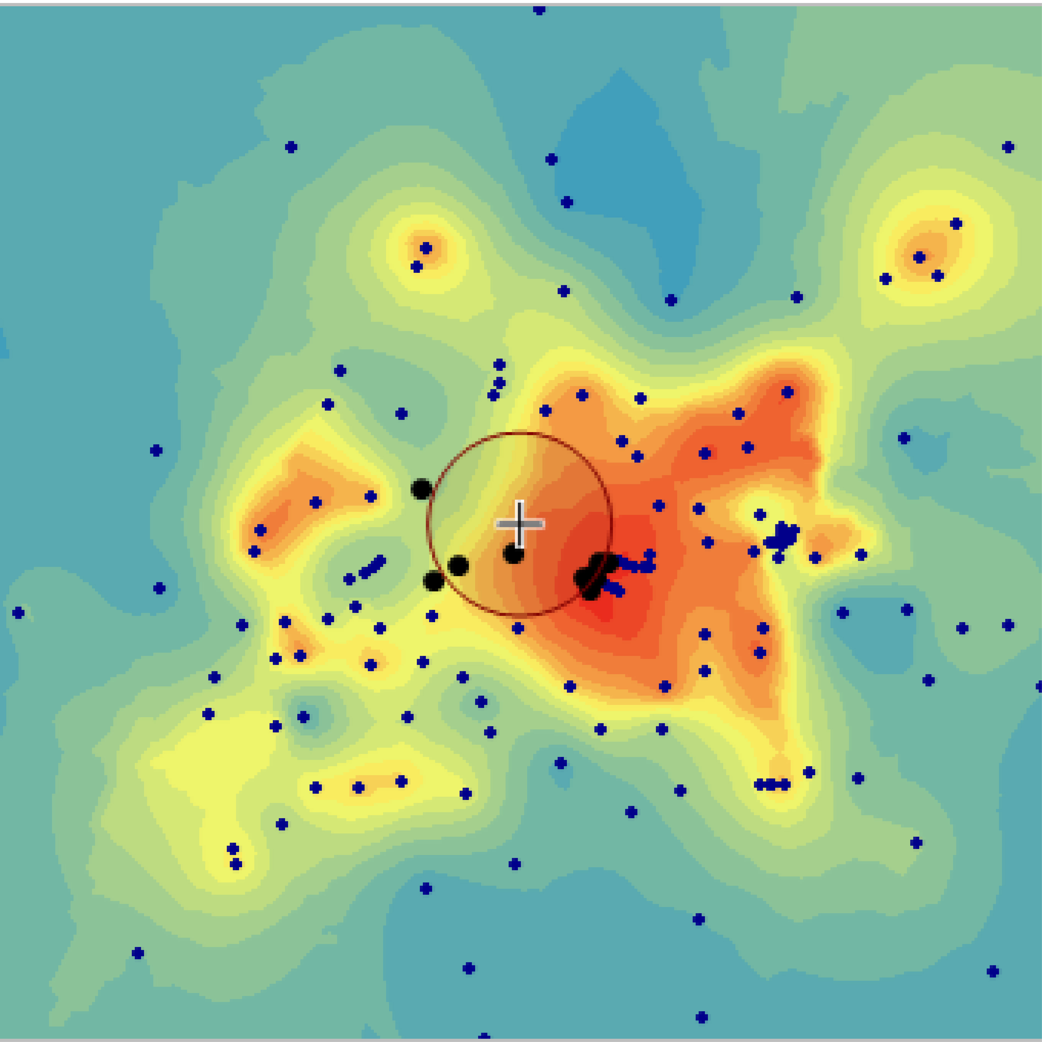
GIS stands for geographic information system and the map is, of course, a visual representation of quantifiable data. Compared to traditional table maps, a GIS map is dynamic and interactive. It can reveal previously unseen features by highlighting them and show change of these features over time, based on the given attributes.
Category Maps
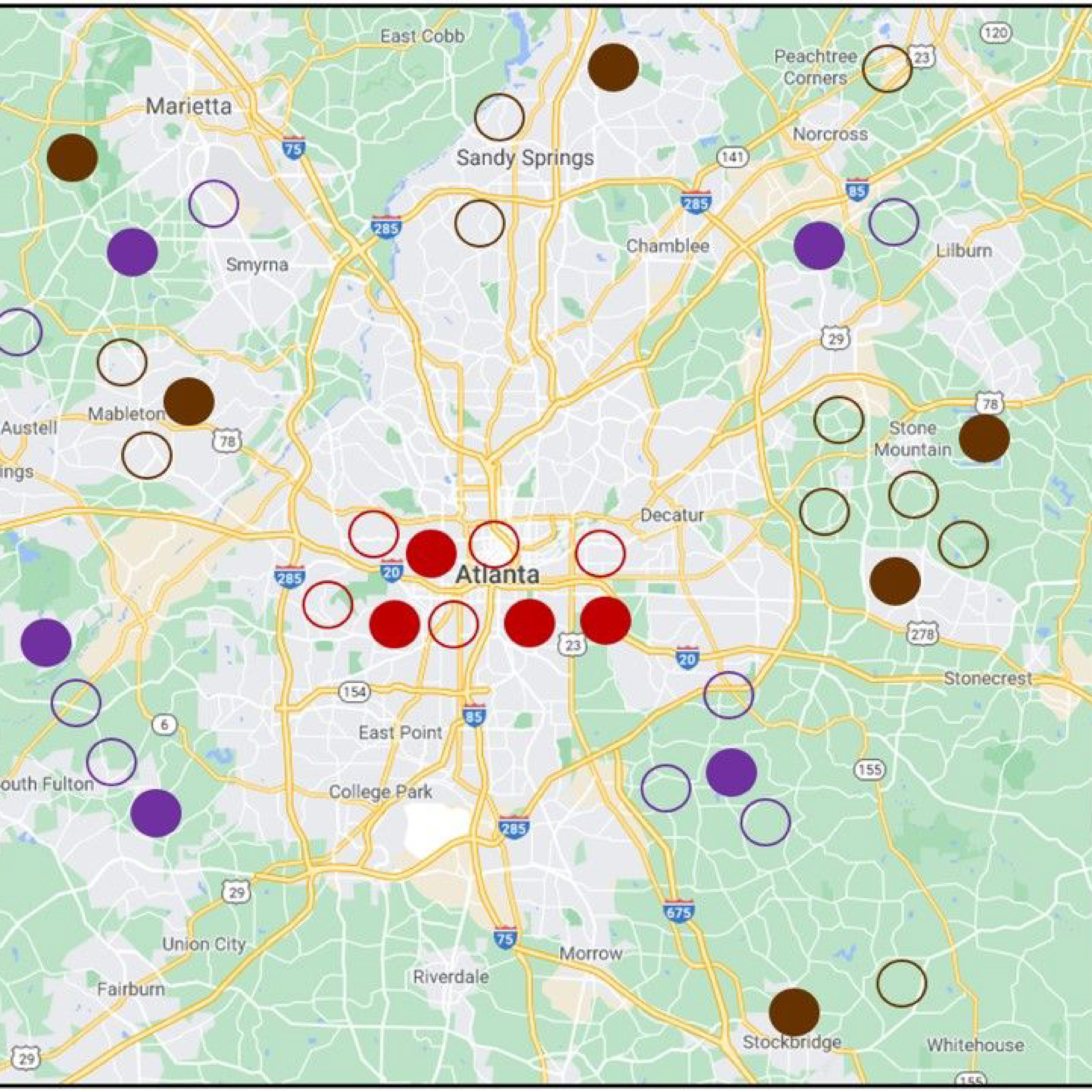
When you need to understand exactly which portions on the map correspond to which data segment, there is nothing else like a category GIS map. This is by far one of the most common types of GIS mapping, since it is the easiest to create. A specific category, or attribute, is assigned its own distinct color. The result is a convenient map of differently colored patches, each representing a particular category.


