CUT/FILL Maps
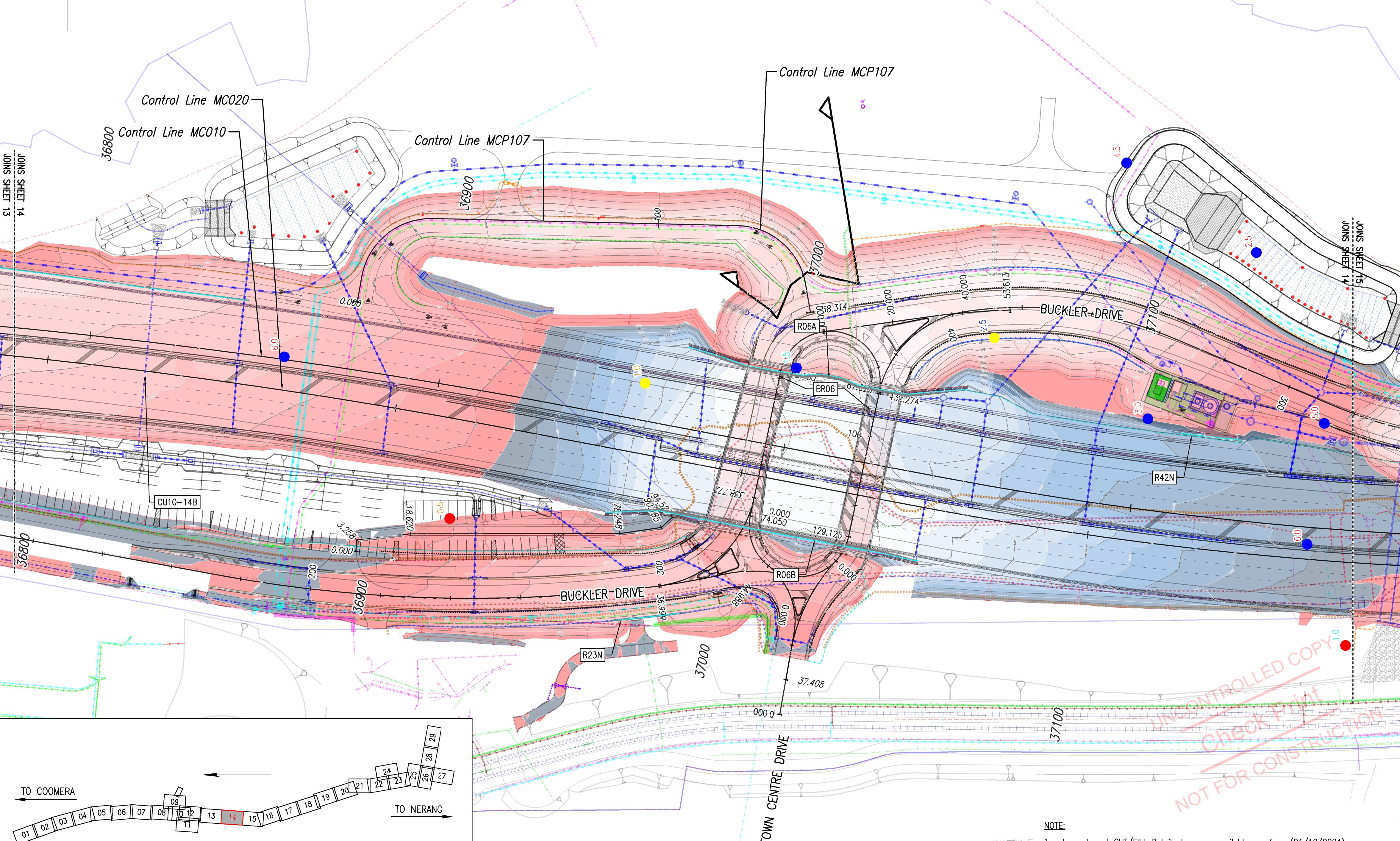
A Cut/Fill map is a common requirement for any earthworks project. We can generate a nice, color-coded, series of depth range with labels of cut/fill depth for quick reference. It’s an area a lot of us struggle with but it’s actually pretty simple to accomplish once you see the setup in action.
